High-resolution drone imagery
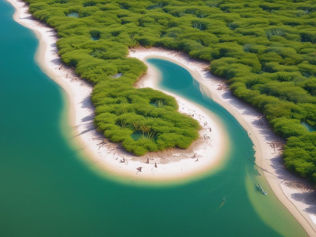
Unlock the power of precise monitoring with our high-resolution drone imagery services. We deploy state-of-the-art drones equipped with advanced multispectral and ultra-high-definition RGB cameras to capture stunning aerial views of coastal ecosystems. This data allows coastal councils and regional authorities to assess the health and distribution of vital marine vegetation like seagrass, seaweed, and mangroves. By providing time-series data, we support informed decision-making in conservation planning and environmental impact assessments. Choose our services to gain unparalleled insights into your coastal regions and ensure their long-term health and sustainability.
Let's talk
We would love to hear from you!