Geospatial data analysis
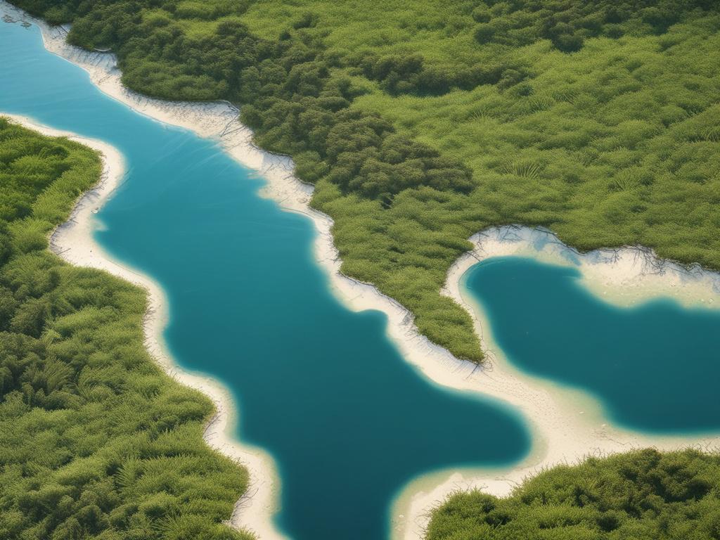
Maximize your environmental initiatives with our comprehensive geospatial data analysis services. Utilizing cutting-edge LiDAR technology, we deliver high-accuracy mapping and environmental assessments for coastal areas. Our analysis provides essential insights into the health of seagrass, seaweed, and mangrove habitats, supporting regulatory compliance and conservation strategies. By transforming complex data into actionable information, we empower councils and authorities to make informed decisions that protect Australia’s precious marine ecosystems. Trust our expertise to elevate your coastal management projects and promote ecological sustainability in your region.
Let's talk
We would love to hear from you!