Aerial surveys
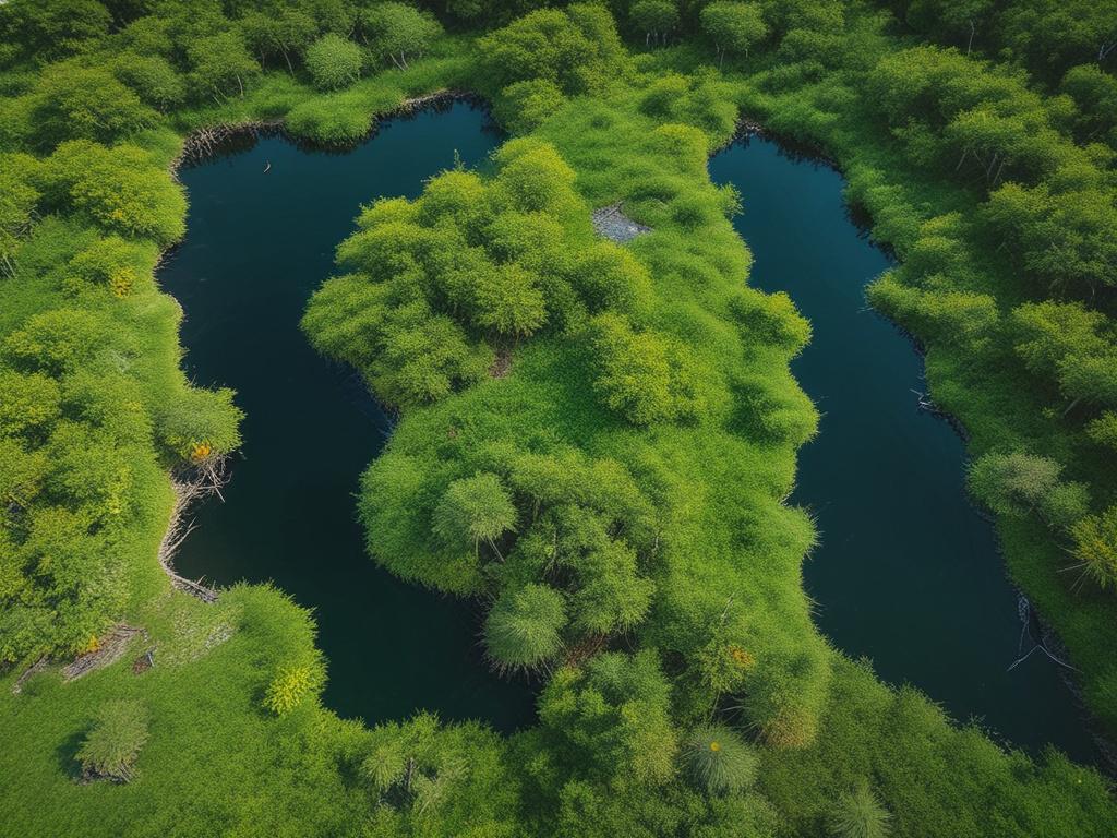
Utilizing cutting-edge drone technology, our aerial surveys provide unparalleled insights into coastal ecosystems. We capture high-resolution images and detailed geospatial data, allowing for precise monitoring of seagrass, mangroves, and seaweed. This innovative approach enables coastal councils and regional authorities to assess the health of these vital habitats effectively. Our surveys deliver time-series data crucial for environmental impact assessments and conservation planning. With centimeter-level accuracy, we empower decision-makers with the information they need to protect and restore our precious marine environments.
Let's talk
We would love to hear from you!